
Glossary
Convey - The action of transferring ownership of land from one entity to another.
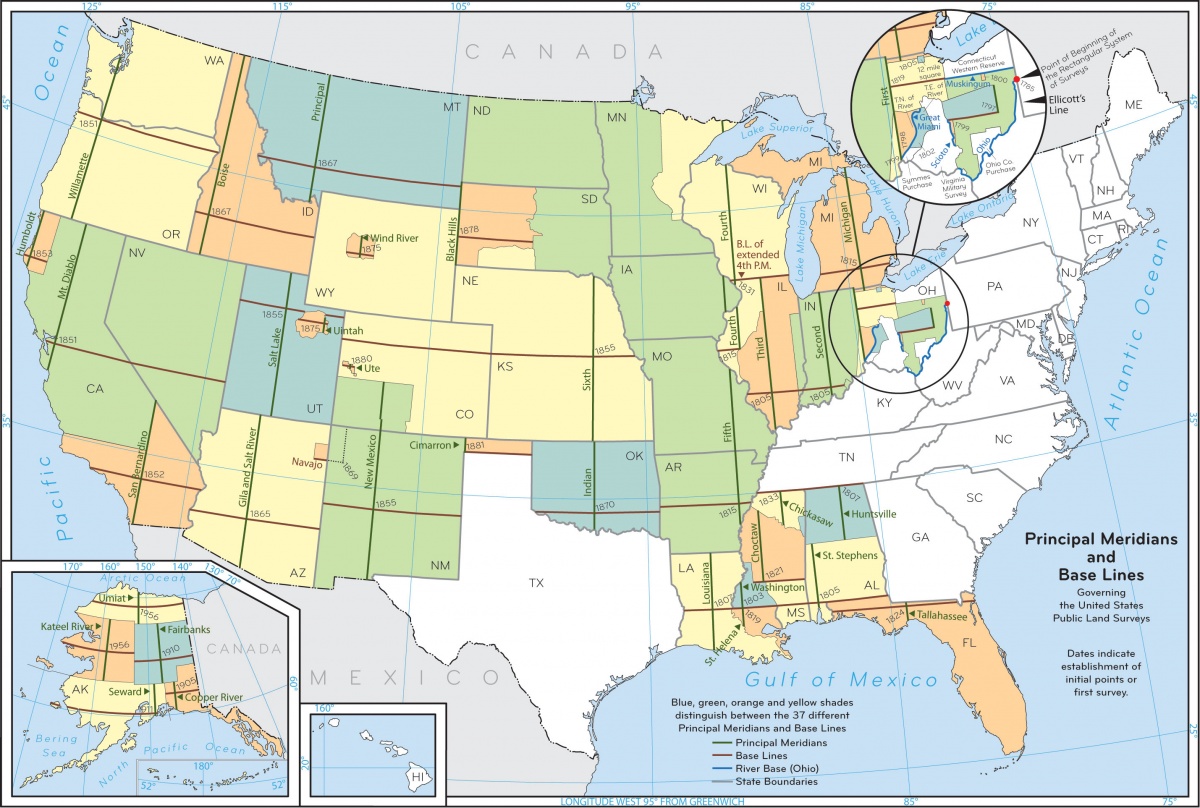
Base Line - An east-west line parallel to the equator that is established at the initial point (origin) of a meridian. See BLM Principal Meridians and Base Lines Map: https://www.blm.gov/sites/default/files/meridianmap09_1.jpg.
Estate - A portion of land (e.g., Land estate is the land surface and air above; mineral estate is everything below the land surface).
General Selection - §6(b), Alaska Statehood Act; A grant of 102,550,000 acres of public domain land which the state could select without any restrictions on the purpose of the selection.
Land Entitlement - Lands promised to an entity by a land grant.
Land Grant - A grant of land from the U.S. to a state, university, or private entity to help that entity fund itself.
Meridian - Lands described by the PLSS that share a common initial point, principal meridian, and base line. In Alaska there are 5 meridians: Copper River Meridian, Fairbanks Meridian, Kateel River Meridian, Seward Meridian, and Umiat Meridian.
Parcel-level Resolution - Refers to data being tracked at an individual parcel scale. A great example of this level of record keeping is a borough or county tax assesor's tax rolls.
Public Land Survey System (PLSS) - Both a method of subdividing lands and a method of describing lands. Additional information is available from the BLM at: https://mlrs.blm.gov/s/article/PLSS-Information and https://www.blm.gov/sites/blm.gov/files/Management%20of%20Land%20Boundaries.pdf
Principal Meridian - A north-south (true north) line that is established at the initial point (origin) of a meridian. See BLM Principal Meridians and Base Lines Map: https://www.blm.gov/sites/default/files/meridianmap09_1.jpg.
Range - Number of townships east or west of a given meridian's principal meridian.
Section - Sections are approximately 1-mile x 1-mile square units of land described by the PLSS.
Section-level Resolution - Refers to data being tracked at a PLSS Section scale.
Selection - An application for lands submitted to the Department of the Interior in fulfillment of a land grant. A selection is valid if the lands applied for were vacant, unappropriated, and unreserved at the time of selection.
Top-file - A selection application which is not yet valid, but may become valid. A selection is top-filed if the lands applied for were not vacant, were occupied, or were reserved at the time of selection.
Township - An approximately 6-mile x 6-mile square unit of land described by PLSS; 36 Sections comprise a township. May also refer to the number of township lines north or south of a given meridian's base line.